

Beakon Lampedusa

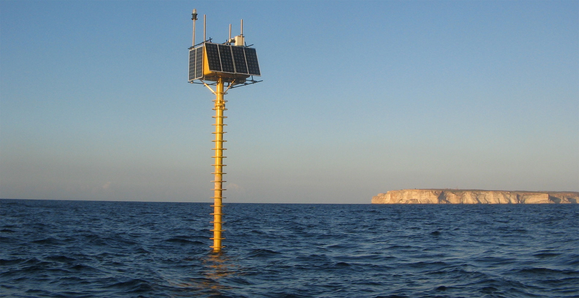
The Lampedusa Station serves as a pivotal oceanographic node within the integrated observatory, managed by ENEA, that is dedicated to measuring essential parameters for climate research. Nestled in the Strait of Sicily, approximately 3.3 miles off the southwestern coast of Lampedusa, the station operates in waters around 74 meters deep (GPS coordinates: 35.49°N, 12.47°E). Since its deployment in August 2015, this advanced facility has been equipped with cutting-edge sensors specifically designed to study air-sea interactions and validate satellite observations.
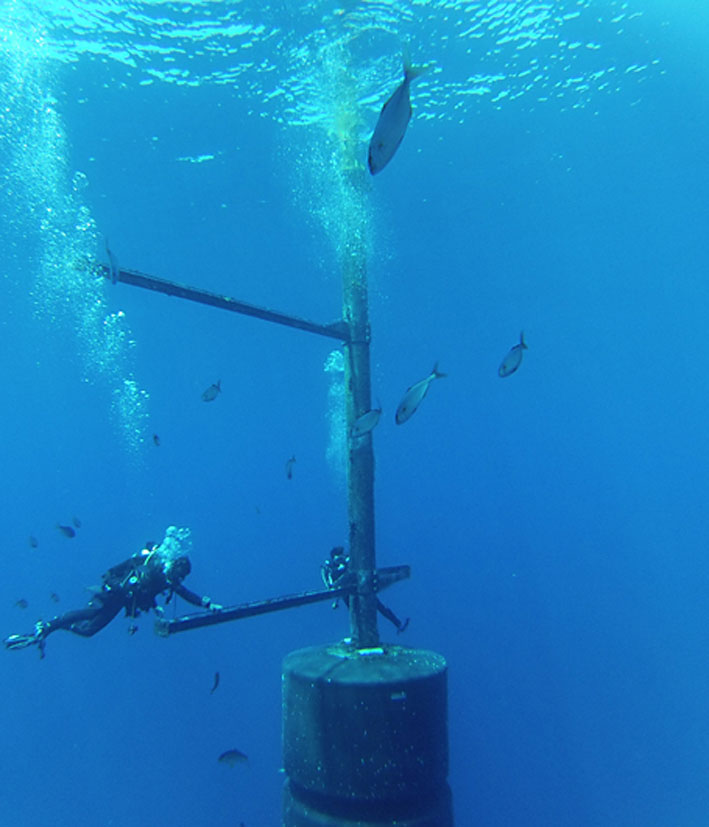
In the atmospheric section, a range of operational sensors enhances our understanding of climate dynamics. These include a meteorological station featuring a sonic anemometer, solar and infrared radiometers, as well as a photosynthetically active radiation (PAR) sensor. Contributions from ISMAR include a sophisticated 7-band radiometer installed at the surface, along with pressure and temperature sensors positioned at 1 and 2 meters depth. At 18 meters depth, instruments measure pressure, temperature, salinity, and dissolved oxygen, while additional 7-band radiometers at 2.5 and 6 meters depth, and sensors for chlorophyll, CDOM, and backscattering further enrich the data collected.
This station is uniquely situated in particularly transparent waters, making it an ideal location for monitoring biogeochemical characteristics and validating satellite observations. Its contributions are invaluable to advancing our understanding of climate systems and enhancing the robustness of climate research.