
Two new HF coastal radars have been installed in the Gulf of Salerno and Capri as part of the ITINERIS project. The new stations enhance the monitoring of sea currents, improving safety and environmental management along the Campania coast.
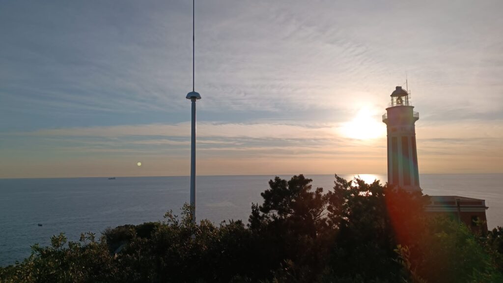
In April, the ITINERIS (Innovative Technologies for INtegrated Environmental monitoRing and Intelligence at Sea) project led to the installation of two new coastal high-frequency (HF) radars at strategic locations in the Gulf of Salerno: at the Italian Naval League in Battipaglia (SA) and at the Punta Carena Lighthouse in Anacapri on the island of Capri. The new facilities integrate with the system already operating in the Gulf of Naples, extending coverage southward and enhancing the real-time monitoring capability of surface currents. Data acquired by the two new radar systems will feed into the EuroGOOS HF radar node (link here https://www.hfrnode.eu), which, representing the European component of the global system of observations at sea, collects and shares data among several countries, improving international cooperation and the quality of marine forecasts. The two new radars are also part of the observing system supported by the European initiative JERICO (Joint European Research Infrastructure for Coastal Observation, link here https://www.jerico-ri.eu) recently submitted to the ESFRI Roadmap 2026 to become a full-fledged European Research Infrastructure.
TThe HF radars in question, operating in radio frequency in the 13.5 MHz band, can detect the speed and direction of sea currents at the surface, with a range of up to 100 km and a temporal resolution of one hour. The collected data, with high spatial and temporal resolution, are of great use for navigational safety, oceanographic modeling, search and rescue (SAR) operations, marine pollution prevention, and sustainable resource management.
The strength of this technology lies in its ability to operate continuously, without the need for at-sea installations, and its seamless integration with other observational systems such as buoys and satellites. While buoys provide point measurements and satellites provide large-scale but time-limited coverage, HF radars bridge the gap by offering capillary, continuous, real-time coastal observations.
With ITINERIS, the national marine observation network is enriched with new strategic resources that are critical to addressing environmental challenges and ensuring safer and more sustainable use of marine space.
Side image credits: CNR-ISMAR